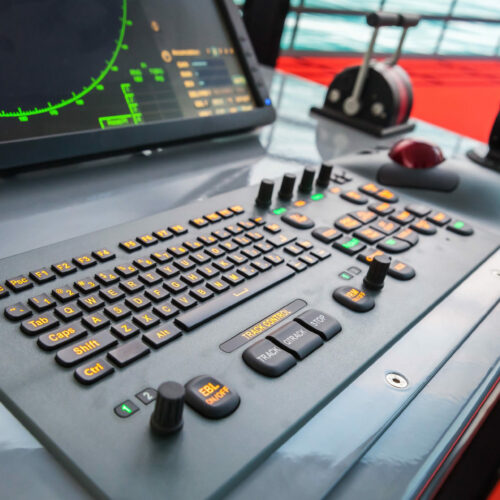
Modern ship control panel with radar screen, accelerator, trackball and keyboard

Precision operation

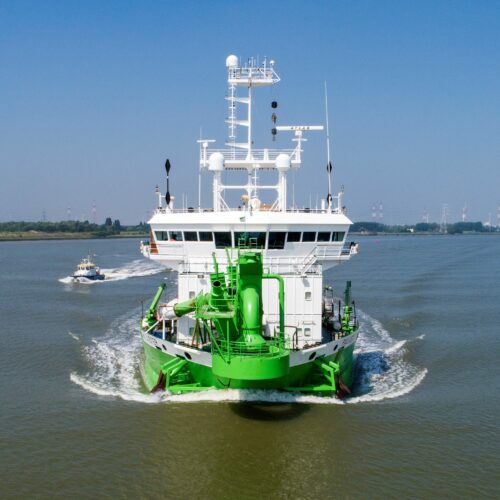
Dredging and crane vessels require not only perfect navigation but also very accurate data to be able to carry out their operations most effectively.


We have developed Navigis Survey/Dredger especially for this purpose. This system is based on Navigis River and has been enhanced with additional features for identifying correct positions, tracing routes, and switching between different international types of coordinates.

bagger

Countless features for dredging and crane vessels

  • Tracking: Navigis River’s existing track function has been expanded in this version. It now allows opening, joining, and editing multiple tracks. With a depth gauge connected, it is possible to show the depth along the track using a colour coding of your choice!
  • Positioning coordinate systems: Besides the well-known latitude and longitude system, the survey/dredging version can use other coordinate systems such as Lambert (Belgium), Rijksdriehoek XY (The Netherlands), and Gauss-Krüger (Germany). These systems can be shown separately or together.
  • Comprehensive notes: this feature has been significantly expanded compared to Navigis River. A good example of this is the “survey grid lines.” One touch of a button is all it takes to create, save, edit, and record survey grid lines, and to record levels in separate notes.
  • Heading: Navigis Survey has different settings for determining the correct course: magnetic compass, gyrocompass, GPS compass, or second GPS antenna.
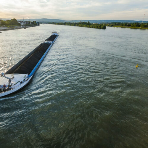
Cargo ship with coal bulk load on the river Rhine in Mainz, Germany

Customised additional chart information

  • Dredging domains and trenches can be added on top of the existing chart. Individual notes can be uploaded to the system via the DXF import function.
  • The most commonly used file types in our sector can be imported, including external AutoCAD files, DXF files, XYZ files, and bathymetric data. These are then converted to an ‘extra notes’ layer on the chart via a simple user wizard with just a few mouse clicks. Tresco’s charts department is always happy to load and process additional data for customers!
  • If you have any special requirements, Tresco’s development team will be delighted to discuss the options with you to find a “custom-made” solution.
eygduye2

Additional features and options

  • Second GPS/DGPS
  • Electronic compass or gyrocompass
  • Depth Interface
  • Conning Display
  • AIS
  • ARPA
  • RadarLink

References